- Home
- About Us
- Canvas
- Echo Tech
- Kids Enclosure
- Gallery
- Team
- E-Services
- Contact Us
Ghazi Ghat
GHAZI GHAT
Patriata, Murree
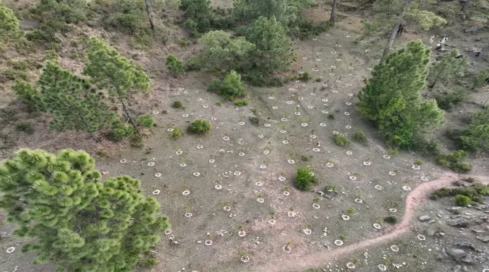
Patriata Plantation
Bahawalpur
LAL SUHANRA
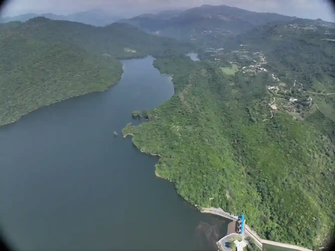
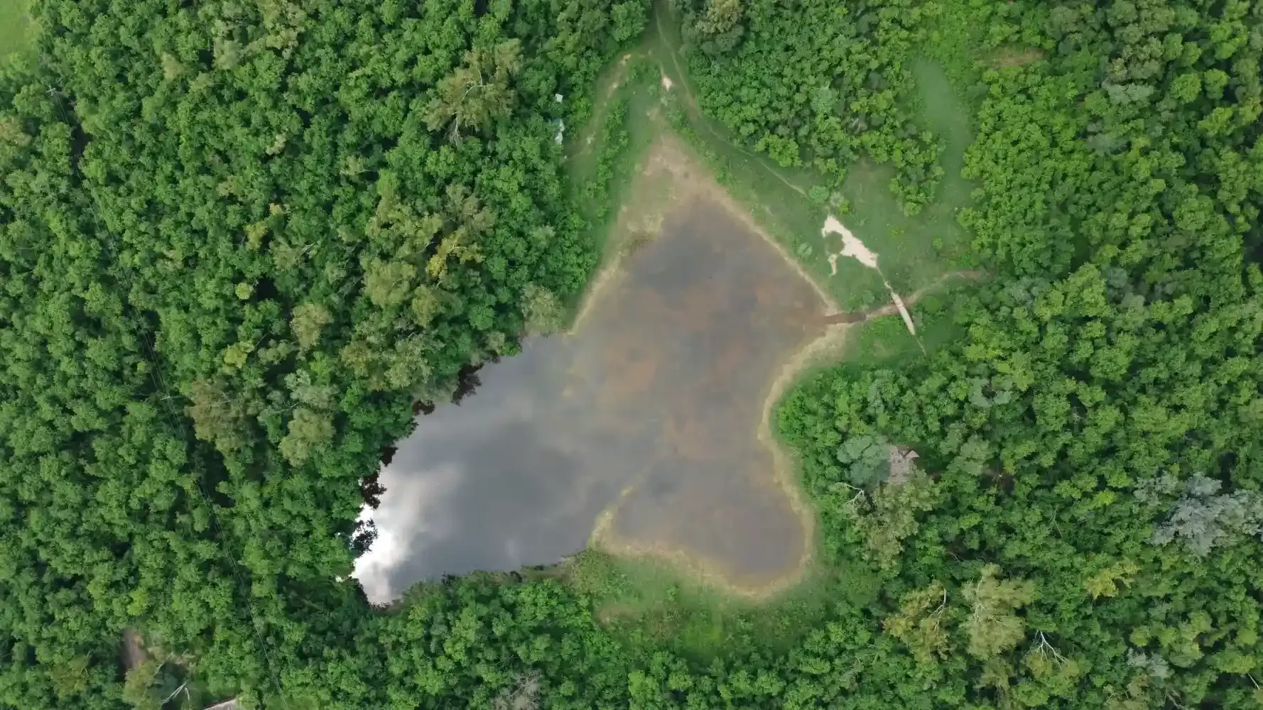
Simly, Islamabad
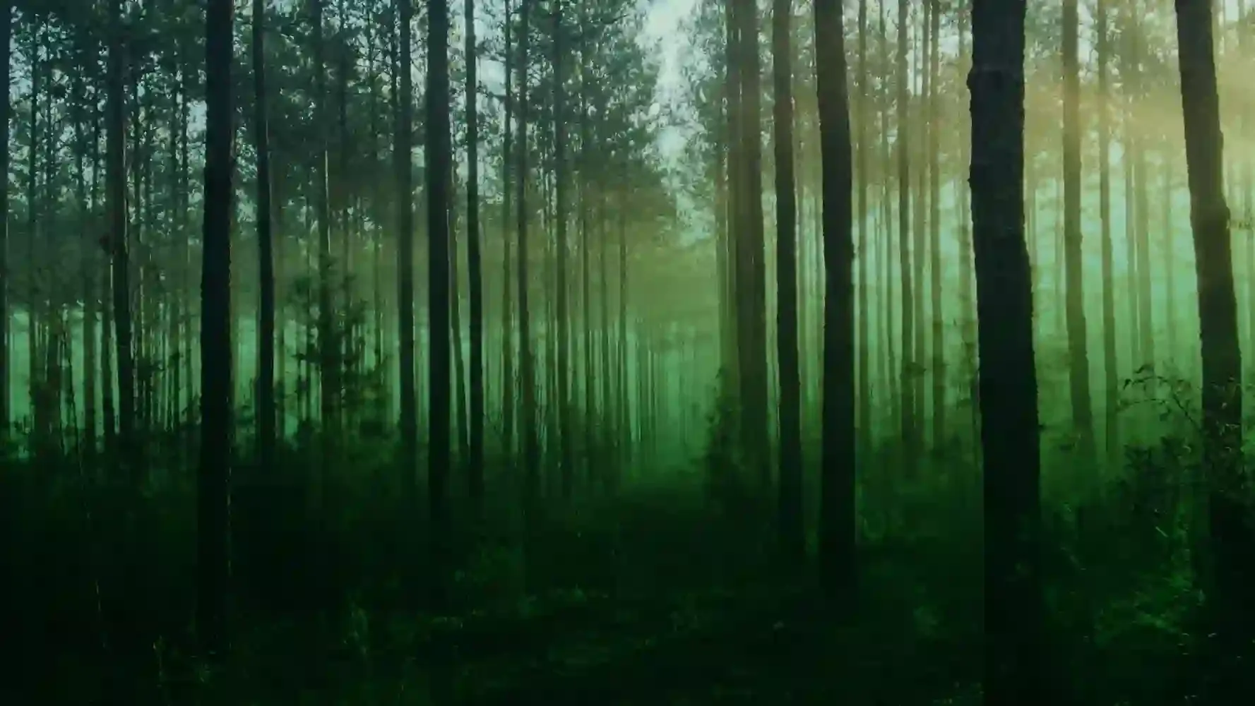
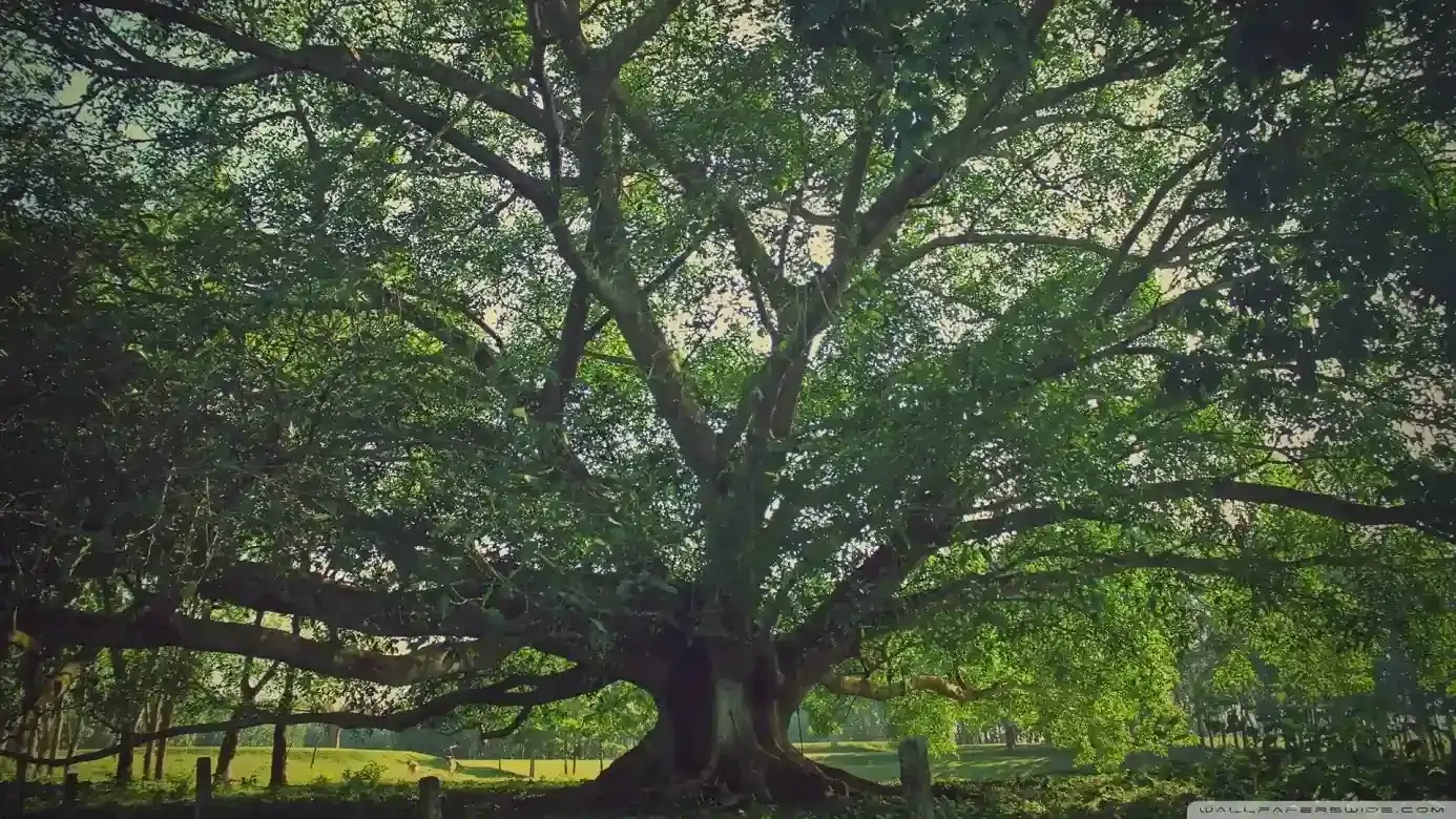
Tomair Forest
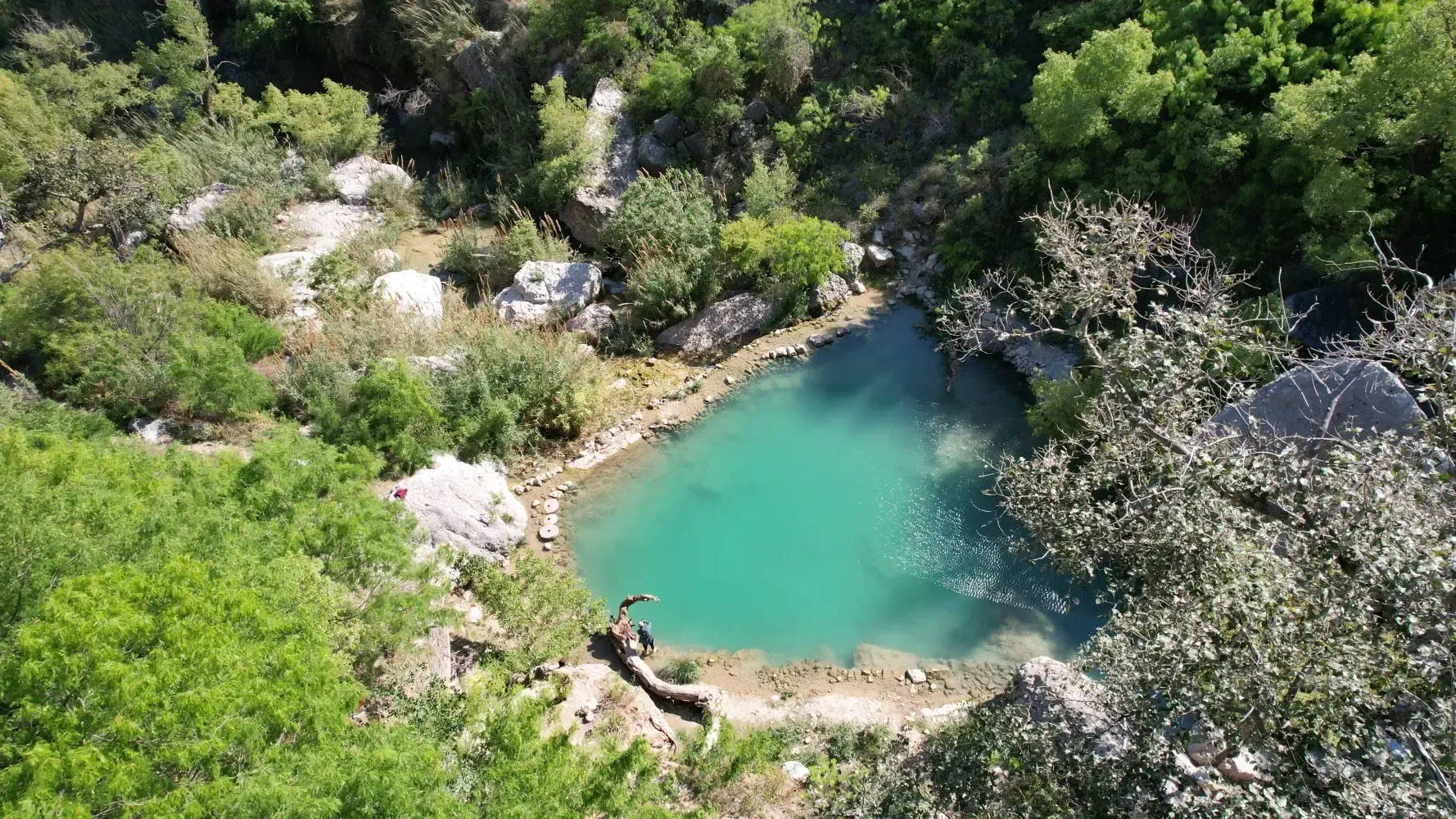
Chakwal
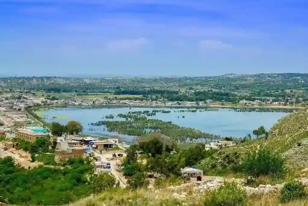
Kallar Kahar
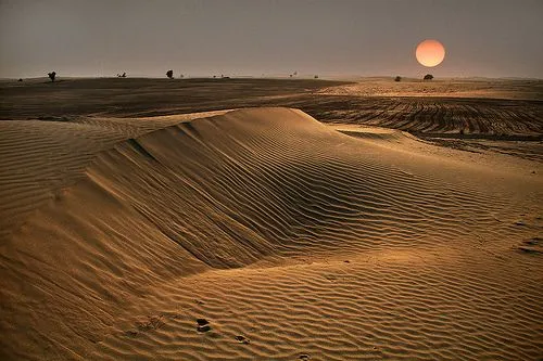
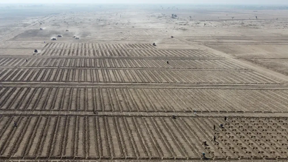
Cholistan
Cholistan Desert
Malikwal, Mandi Bahauddin
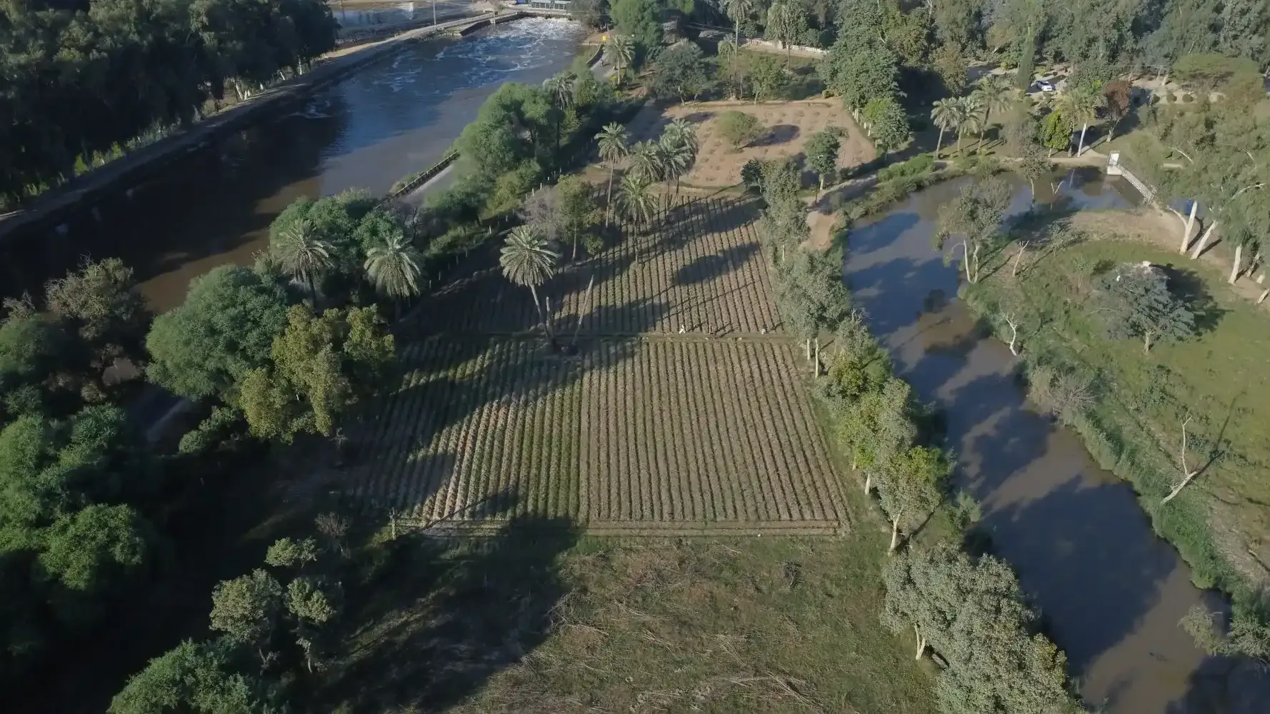
Daphar Plantation
Gujrat
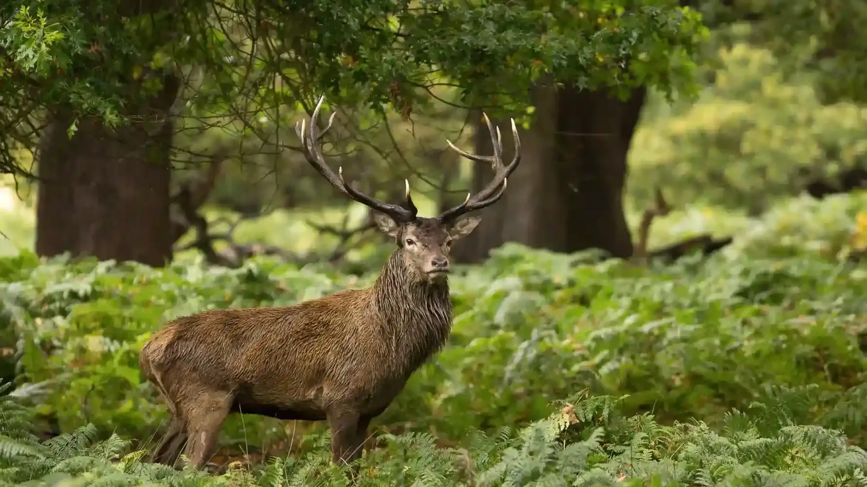
Pabbi National Park
Bahawalpur Zoo