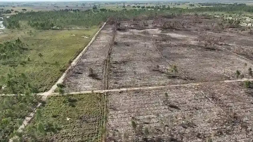
Fire-Affected Areas Mapping
Ai-based-Early Detection Mechanism
Ai-based-Early Detection Mechanism of Wildfires in Punjab forests will help prevent and mitigate forest fires before they spread. Sensors will detect fires early and provide real-time alerts, a game-changer for forest management. GIS LAB will complete pilot studies in 3 selected zones of Punjab Forests using AI-based sensor technologies. This will also help fine-tune the technology for large-scale deployment.
Sensor Deployment Strategy
Dense Deployment in High-Risk Areas (1 sensor per hectare): High-risk areas, like places prone to dry conditions, human activity, or certain vegetation types, will have a higher concentration of sensors. This allows for quicker detection and response.Sparse Deployment in Remote Areas (1 sensor per 10 hectares): In more isolated areas, the density of sensors will be lower, but they will still be strategically placed to monitor and detect fire outbreaks in these hard-to-reach locations.
Fire Alert System
Once a fire is detected, an immediate fire alert message can be sent to the control room. The fire alert message would contain the Fire Location, Exact coordinates or GPS location of the fire. After the Report is highlighted, the emergency Team will take action.
.webp)