FOREST COVER ASSESSMENT USING IMAGE PROCESSING
Forest Cover Assessment in Punjab
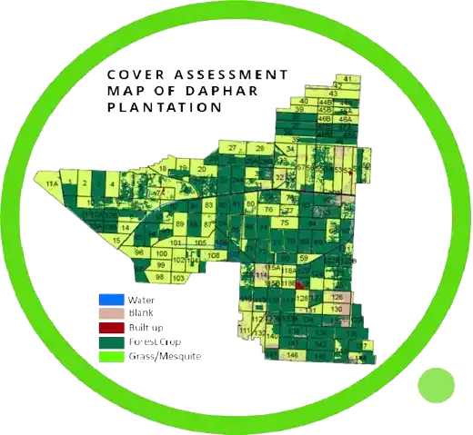
The Punjab Forest Department has completed a 67% forest cover assessment of the province using AI image processing and satellite technology. This innovative method revolutionises forest monitoring by providing accurate and real-time data on forest areas, which is crucial for better management and conservation efforts.
Why Forest Cover Assessment is Essential
AI and satellite technology make it easier to track forest health, monitor deforestation, and measure reforestation efforts. This data-driven approach enables more informed decision-making and efficient forest management. It is essential for maintaining biodiversity, combating climate change, and improving conservation strategies. Using cutting-edge technology in Punjab’s forest cover assessment is a significant step toward sustainable forest management. With these tools, the province is better equipped to protect and conserve its natural resources, ensuring a greener future for future generations.