Flood-Affected Areas Damage Assessment
Remote Sensing
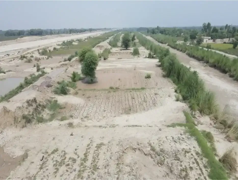
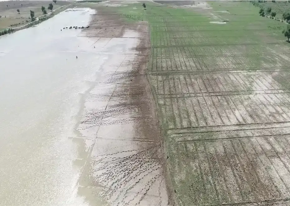
Remote Sensing is the science of collecting data about an object or phenomenon without physically contacting it. Satellite or aerial photographs can capture before-and-after images of regions affected by floods. Satellite and drone images help identify changes in land cover and surface water extent during and after flooding events.
Mapping Affected Areas
This process can generate detailed maps that clearly outline the boundaries of flood-affected regions. It can also capture fine details of flood extent, allowing for precise delineation of the flood boundary, identifying damaged infrastructure and vehicles, or measuring water depth in urban areas. Flood Damage Assessment helps retain Data, High Precision, Large Area Coverage and Continuous Monitoring.